Viking British Isles Explorer Cruise: Shetland Ponies

I met my first Shetland Pony when I was at Texas A&M University at Commerce. My now ex’s grandmother had a small cattle ranch not too terribly far from school and he and I went out there to spend some time with her. In addition to the small herd of cattle, she had two horses. One was a beautiful female chestnut who technically belonged to my ex. She was not very impressed by me. It seemed to me that she thought of me as a rival. I remember her name as being Suzie.

There was a male Shetland Pony there as well. He was quite friendly towards me. While my ex rode around on Suzie, the Shetland and I hung out together. He was the perfect size for me to ride, as I am small in stature and would sometimes struggle a bit with a full-sized horse. Shortly before high school graduation I had been on one who took off with me before the stirrups could be properly adjusted and I had ended up bouncing off of him. I wasn’t seriously injured, just cuts, sprains and bruises. I spent graduation day with bandages and wraps beneath my graduation gown.

I had a child-sized bicycle and a child-sized guitar, so why not a child-sized horse? This Shetland was very affectionate and seemed ready to go home with me.

On one of my visits to the Isle of Skye in Scotland a few years ago, a couple of Shetlands trotted over to me to say “hello” when we stopped up on a mountain to take some photos of the gorgeous scenery from there. They too were very sweet and friendly.

Small ponies have existed on Shetland for more than 2,000 years. They are thought to have been in domestic use since the Bronze Age (between 3500 and 1200 BC). They are very hardy animals who were developed to withstand the harsh climate, rugged terrain, and scarce food. They were first used to haul peat and seaweed and for plowing land. They can easily live for more than 30 years.

Shetland ponies have short, muscular necks, compact bodies, and short, strong legs. They have small heads with wide-set eyes and small, alert ears. Their coats can be any color except spotted, but black and brown are the most common. In the winter, they grow a thick double coat to withstand the cold.

Shetland ponies are known for being friendly, good-natured, and confident. However, they can also be opinionated and headstrong, which can make them challenging for some owners.

Currently Shetland ponies are used for a variety of purposes, including working and recreational riding, dressage, show horses, and driving with small carts.

After having some lunch onboard the ship, we headed out north of Lerwick this time. Some photos of the scenery were included in the post titled “Fascinating Shetland” as I wanted to have just Shetland Pony pictures with this post. The Tingwall Valley, with its Norse heritage, and Girlsta, with its beautiful lochs and hillside scenery, plus Whiteness and Wormdale were some of the areas through which we traveled. We also stopped at Scalloway to take a photo of the castle there.

The Shetland ponies at the location where we stopped to hang out with a few of them didn’t seem to be all that interested in us. It was mid-afternoon and they had been greeting tourists for several hours by that point. So they just went on about their business while we watched them interact with one another and listened to their owners talk about them. I was imagining their conversations with each other about our group. “That one seems nice.” “That one has no fashion sense. Doesn’t she realize that those colors clash?” “Don’t you want to get petted?” “No. I’ve been petted quite enough today. Thanks.” “If one more person tells me what a pretty little horsie I am, I just might barf.”

I took loads of photos, not only for myself, but also to share with one of my sisters-in-law who had owned a delightful horse named George and is still very much a horse lover. I have to agree that they are wonderful animals. Highly intelligent, with clearly individual personalities.

During some free time out in the wilds of North Mainland, I went for a good walk in the area of a golf course. There were some men fly fishing in the river nearby. The afternoon wasn’t near as cold as the morning had been. It wasn’t raining either. So a very pleasant time out in the countryside before heading back to the ship. The following day I would be visiting Norway for the first time since some of my Norse ancestors moved down from a little north of the Bergen area to Orkney in the 10th century.

Next time – Farming on a Norwegian Fjord

Viking British Isles Explorer Cruise: Jarlshof – Thousands of Years of History Packed into a Small Space

When Sir Walter Scott visited the site on Shetland in 1814, he called it “Jarlshof” based on it being the “laird’s house”. This was prior to the storm that unearthed some of what was beneath and surrounding the remains of the laird’s house. Once excavations began, it was discovered that the history of the site dated back as far as 2500 BC. It includes Neolithic remains, Bronze Age houses and a smithy, an Iron Age broch and some houses, Pictish wheelhouses, a Norse settlement including a longhouse, a medieval farm, and the remains of a 17th century castle.

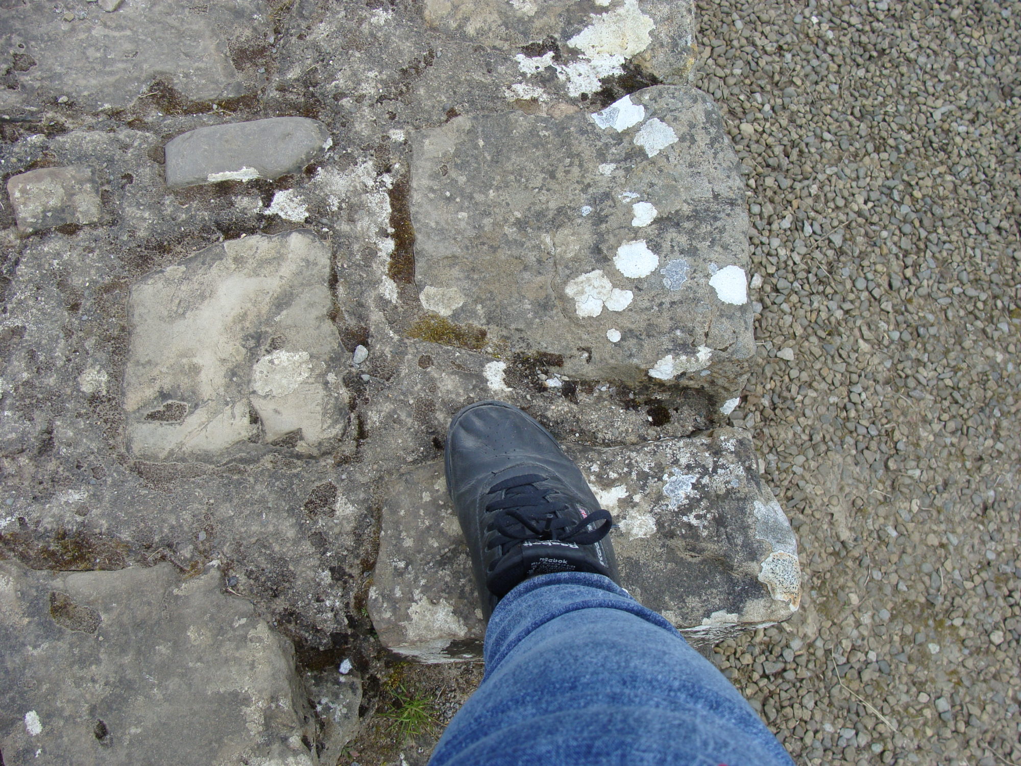
I found that I could actually walk around amongst all of this. I could also touch the walls and actually needed to duck to get inside of some of the buildings – unusual for me.

In a place like this where we were in a limited area, I knew what time to be back at the coach (and knew where the coach was parked), and we had listening devices for the tour guide’s commentary, I could wander away from the group to take photos and explore. That way my back stayed happy as I kept moving and I could get my photos without having loads of others in them or competing with me for them. I could still hear what the guide was saying and could keep track of where they were in case I needed to go back there to see something special they were pointing out. I am sharing 27 photos with this post, but I took 74 photos of Jarlshof (176 total of Shetland).

The earliest finds so far have been Neolithic (2500 – 1500 BC). This was at the end of the same time period as Skara Brae (3180 to 2500 BC). The remains of one oval, stone-built structure has thus far been uncovered from the Neolithic period. In the photos I have included here of that time period, you can see what looks like a stone inside of a stone near an upright stone in the second and third photos. This is a trough quern, used for grinding barley and wheat.

There are three distinct Bronze Age houses at Jarlshof. They are from roughly 2000 to 800 BC and are smaller than the houses at Skara Brae. Otherwise, they are quite similar. People were raising sheep and cattle at this time. They also had access to fish, shellfish, wildfowl and seals. A skeleton of a dog was found just outside one of the houses. Evidence at the smithy (who moved in about 800 BC) indicates that axes, knives, swords and pins were produced there. A bronze dagger was found at the site. The Bronze Age trough quern was smaller than the Neolithic one had been.

The Iron Age settlement was partially built on top of the Bronze Age settlement. This was at about 500 – 300 BC. Internal piers were much lighter than the thick buttresses from the Bronze Age, which gave more space inside of the houses. The style was still of cells radiating out from a central hearth and was entered via a paved passage from the seaward side.

By the Iron Age, the trough quern had been replaced by a saddle quern, which was much smaller and lighter than the trough quern. You can see a saddle quern in the sixth photo I have included here in roughly the bottom left of the photo.

In addition to having better tools, spindle whorls and weaving tools found here indicate that fabric weaving and spinning was increasing. In addition to the sheep and cattle, evidence has been found that people were keeping pigs, dogs, and small ponies.

New underground storage areas for perishable food have also been found there. There isn’t any access to visitors to the large Iron Age souterrain. It is at the end of a long, narrow passage and is actually underneath the visitor pathway. But I took a photo of a smaller one from a Pictish wheelhouse. It is the 21st of the 27 photos I have included here.

The broch, which was a fortified dwelling, was built during the late Iron Age (100 BC- 100 AD). Part of the broch was lost to the sea. It is thought to have been originally 13 metres (40 feet) in height. It was exciting to me to be able to walk around inside of the remains of an actual broch. I also explored what remained of the stairs within the walls (see the 26th photo).

The broch was encircled by the wheelhouses. There were four of them. These were built by the Picts from about 200 – 300 AD and were lived in until around 800 AD. I had never seen anything like the wheelhouses before, much less be able to walk around inside of them. I found them to be quite amazing. Many of the wheelhouses that I explored still had a good portion of their roofs. Since I was mostly alone in them, I felt very much like I was transported back in time. Being in out of the wind was helpful too as it was a very chilly, damp wind, right on the edge of the sea as we were. The passages into the wheelhouses tended to curve, so I wasn’t feeling the wind smacking against me much until I came back out of the entrance.

The Norse settled at Jarlshof in about 850. It was quite easy to see the remains of a Viking longhouse (9th photo). The farmstead lasted for about 12 to 16 generations and had been replaced by a farmhouse (8th photo) to the east by the late 1200s (about 1275). This included a barn and grain kilns.

Once Shetland became part of Scotland in 1469, it came under the control of Earl Robert Stewart, the illegitimate son of King James V of Scotland in the 1500s. He converted a medieval stone farmhouse into a fortified house in the 16th century. His son, Patrick Stewart, who by all accounts was not a nice guy, made changes to the property, turning it into a castle, in the early 17th century. By the late 17th century, it was abandoned. Although Sir Walter Scott named the site after the “Jarlshof” or earl’s house in his novel The Pirate. Its proper name is Sumburgh, from the Old Norse “borg”, meaning fort.

Since I was so far ahead of most of the group, even with all of the photos I was taking and exploring I was doing, I found I had plenty of time to not only check out the exhibits and the gift shop at the visitor’s center, but to also get some hot chocolate with Bailey’s at the hotel where the coach was parked.

Despite the fact that real Vikings did not wear helmets with horns on them, I couldn’t resist buying a knit helmet with horns to wear in the frosty winters at home at the gift shop. I also got a Viking ship Christmas tree ornament.

Jarlshof is another place I would be more than happy to visit again. I would also like to spend more time in Lerwick, and check out the puffins and other cool birds at Sumburgh Head lighthouse. Also, is it possible to go out to the island of Mousa and venture inside of that broch?

Next time – Shetland Ponies

Viking British Isles Explorer Cruise: Fascinating Shetland

Shetland was a place that I had never visited before and was one of the reasons why I wanted to do this particular trip. I didn’t know a lot about Shetland other than what I had seen on the British television series called “Shetland”. It seemed like a pretty interesting place.

Close to where our ship was docked was the Northlink Ferry. This is an overnight ferry that operates between Aberdeen and Lerwick or Kirkwall (Orkney) and Lerwick. People can take their vehicles and even their pets with them and spend the night in a cabin, a sleeping pod, or just a reclining chair. There is a restaurant, a bar, and a cinema.

Once on the tour coach, we drove through Lerwick to see the Capitol of Shetland. The first place of interest was Fort Charlotte. The fort was built back in 1665 to protect the Sound of Bressay from the Dutch during the Second Dutch War. It did hold off the Dutch fleet in 1667 even though the walls were unfinished and there were few guns. But it looked more heavily manned and armed than it was. It was burned out in 1673 during the Third Dutch War. More than a century later, it was rebuilt during the American Revolution, but never saw any military action. Fort Charlotte is an artillery fort with roughly five sides and is presented as it would have looked in the 1780s. It is currently the base for Shetland’s Army Reserves.

We next encountered the home of fictional character, Jimmy Perez, in the “Shetland” TV series. The name of the place is The Lodberrie and is likely the most photographed place in Shetland. The series is based upon books written by the same author who has written the “Vera” books, Ann Cleeves. This building dates to about 1772 and is the last of 21 lodberries lining the foreshore in Lerwick by 1814. They were built with their foundations in the sea and were essentially trading booths, selling the legal goods from the street side shops. Illegal goods were taken into a maze of tunnels running under the streets to bypass the customs men.

The Town Hall has been seen frequently in the series. In the first series, it is where the Up-Helly Aa festival begins. This is an annual festival inspired by the Vikings that takes place on the last Tuesday of January. It consists of a parade of over 1,000 men dressed as Vikings and carrying burning torches. It ends with setting fire to a replica of a Viking longship.

Across the street from the Town Hall are the Court Buildings and Police Station, in both real life and on the TV show. In real life, however, crime is really low in Shetland and serious crimes are quite rare.

Radiating off from the main streets are very narrow lanes called the Lerwick Lanes. Many of the homes, pubs and restaurants seen in the series are located in these lanes.

As we passed the Tesco and headed out of town, we encountered Clickimin Loch and Clickimin Broch. A broch is a circular stone tower built by the northern Caledonian tribes between 400 BC and 100 AD. They are unique to Scotland and are the tallest prehistoric structures in the British Isles. This particular one doesn’t have all of its levels intact but has a pretty decent circumference.

Next we passed a peat bog (several of which are featured in the series) and then had a photo stop for the Mousa Broch. This broch stands on an uninhabited island and is the tallest broch in existence. Its walls are the thickest of any broch yet discovered, but it has the smallest diameter. Perhaps that is why it has survived intact. In the photo, the broch is near the center.

On our way to Sumburgh Head, we passed another location that figured quite prominently in Series Three of the “Shetland” TV series. It was a grouping of abandoned buildings out in the countryside.

At this point, we encountered an anti-littering road sign in the Shetland dialect. Since Shetland was once part of Norway, the dialect seems to have bits of Norwegian as well as bits of Scots Gaelic, Scots and English. I felt the sign’s message was quite clear in its intent.

To get to Sumburgh Head from there, we needed to drive across the runway of Sumburgh Airport. Yup. The road actually crosses the runway. It was rather foggy and raining quite a bit by that time. My photo of crossing the runway shows the raindrops on the coach windows. A plane had landed just before we arrived, so no collisions. Shortly after we crossed the runway, I could hear a helicopter approaching. But the fog was too thick to see it until it got much closer to the ground. Fortunately it didn’t need the runway. It had its own area in which to land and we were far enough away to not cause any problems there either.

We were headed for Jarlshof, to which I have dedicated its own post. Near Jarlshof and visible from it once the rain and fog cleared was Sumburgh Head. This was another location that figured quite prominently in Series Three of “Shetland”. Both the lighthouse, which was built by the grandfather of Robert Louis Stevenson in 1821, and a café that stood in for a hotel were featured in that series. The six episodes of that series were quite spellbinding, both when it came to the characters (and actors playing them) and the locations used.

The afternoon excursion mostly consisted of seeing Shetland Ponies (also with their own post). But on the way there and on the way back to the ship, we saw the landscape of the northern portion of the Mainland island.

Along the way to see the ponies I spotted a crannog. Crannogs were built throughout Scotland, usually in freshwater lochs. In Shetland however, just over half the crannogs were built in coastal waters and all were built during the Iron Age. The crannog is what lies underneath as opposed to the building on top. In the photo, the crannog is in the water to the right.

Crannogs are little islets that are partially or completely artificial. They have been built up with rocks in order to be sturdy enough for a dwelling to be built on top. Most of the buildings were wooden and so no longer exist. The bridge out to the crannog was also wooden. A crannog tends to have a relatively unique look to it and so is fairly recognizable to someone who has seen others. Since I have seen them all over Scotland on previous visits, I have learned to recognize them.

Before returning to the ship, our last stop was for a photo at Scalloway. Scalloway was the former capital of Shetland up until 1838. It has been inhabited since Neolithic times and is only a mile or so from the Viking and Norse parliament site, Ting site, in the Tingwall Valley. The village has a population of about 1,200 and the remains of a castle, which also played a part in the” Shetland” TV series – in Series Five, which had to do with a ring of people traffickers.

Next time – Jarlshof